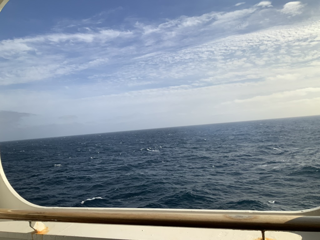
It’s been a few weeks since I did a post relating to the Atlantic crtossing. The journey is slippiing into the mists of time. This picture is taken from our balcony.
At the time, we were passing over the mid atlantic ridge, This is where the european & American plates are moving away fromm each other at about an inch a year. The ridge is also one of the largest mountain ranges on the planet. There are points where the ocean can be up to 10,000 feet deep. I can’t help wondering what it looks like down there. Not that I want to go and find out!
On the u3a side of things, I’ve realised that I have been missing a trick, and have started crafting (or at least, my assistant has) handouts for each session. Why didn’t I think of that before?

