During the transatlantic crossing, we were surprised at the number of people who, having time on their hands, were choosing to travel to the UK this way. In my mind, I couldn’t help turning The Gorgeous Queen Mary 2 into a multi-deck bus.
Each night, our Cabin Attendant, Warren, would leave the daily plan on our bed, along with a couple of rather nice chocolates that I wasn’t allowed to eat because Elayne was collecting them (no, she wasn’t secretly eating them. I did get some after we got home).
The Daily Plan had on the front sheet a short description of where we were on the journey, and so would mention the geological features we were passing over. Much to my annoyance and frustration, I didn’t pay attention to these for the first couple of days. I guess we were getting into our routine.
Anyhow, when I did start reading them, I realised that even in that short section, there was a wealth of information, which I would be able to use to recreate our crossing by what is on the ocean floor.
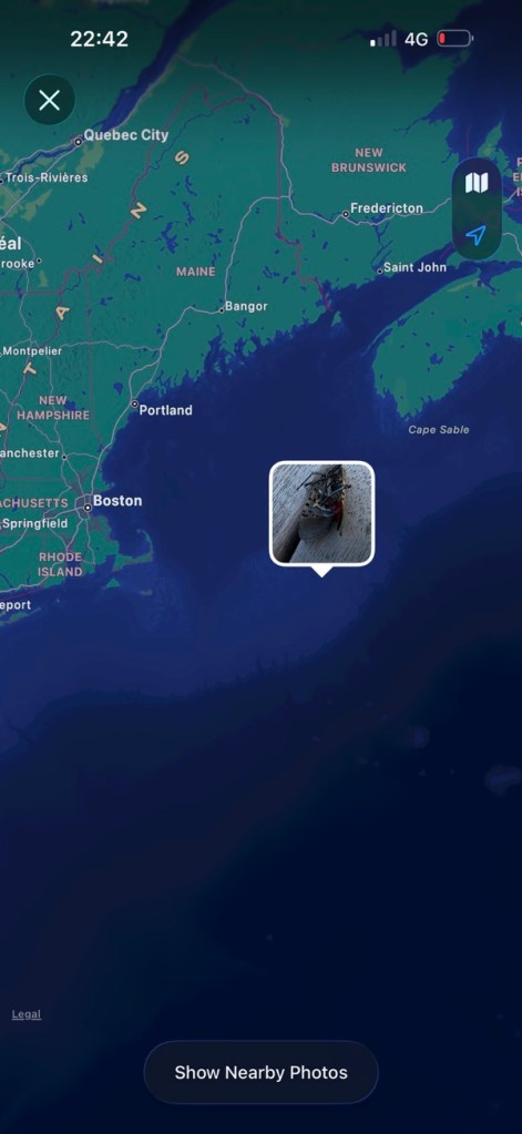
And today’s example is assisted by a photo I took onboard ship. Whilst it obviously shows where we are in relation to the land, my assistant was able to work out an approximation of our latitude and longitude, and that put us over the Georges Bank.
The bank is part of the US Continental Shelf and, relatively speaking, is not that deep, typically varying from 3 to 150 m. It is a product of the ice age and was once dry land over which Mastodons would have marched. Fascinating stuff.

