I can honestly say that I do not go around Gosport digging 4 – 5 feet deep holes, as much as I might want to – and why is that, you might quite reasonably ask? Simply to explore the geology of the area. Quite a long time ago I did my Geology O’Level (a now obsolete senior school exam) at the time, I did the exam, not because I had to, but it seemed to be an interesting course.
One of the books I have read in fairly recent months is The Story of Gosport by Leonard White. The book is mainly about the historic and political development of Rowner, Alverstoke and Gosport. But the last chapter of the book is about the geology of the area and whilst I have never fully lost my interest in geology, it hasn’t been a priority since I took the exam. Since this is all about my Locality project, it is reasonable to include the topic.
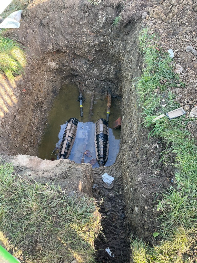
I don’t know if this is strange behaviour, but if the road workers are digging holes, I have always had the urge to go and look in to see what they are up too. I think this is for some electrical work and whilst I am pleased to know that, it is not the reason why I have placed this picture at the head.
The Gosport Story Chapter 21 includes a map of the geology of Gosport Peninsula, the hole in the ground is in Walpole Park, near to The Cockle Ponds. It is even on a bank, so in terms of a hole with geological value it is pretty much useless. The map in the book isn’t very detailed, and it is small, so impossible to be precise, but the best I can work out the bedrock of Walpole Park is Terrace (valley) gravels. Now, I think I know what gravel is – stones. But the significance of terrace & valley aspects is lost on me at the moment, and merely goes to demonstrate the learning curve (yet another) that I could easily embark upon.
Interesting though.
