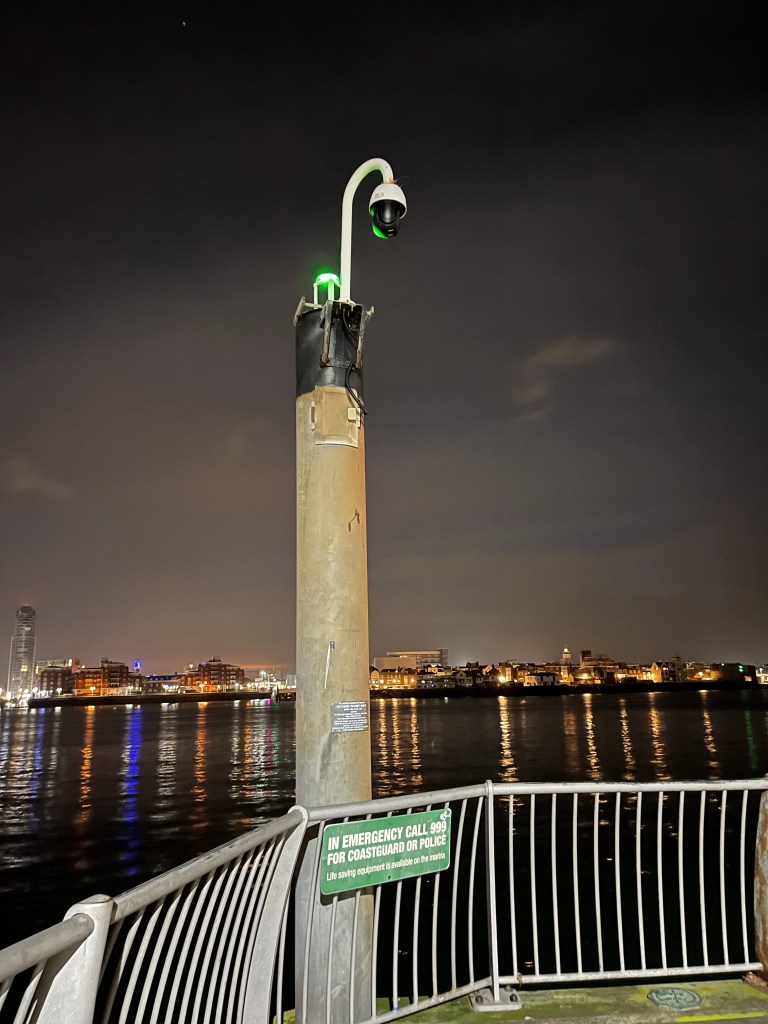
Have a look at this link; https://bit.ly/PH_Chart I only found it tonight, it is an absolutely brilliant online seachart. I’ve been trying to find out about this pillar at the end of the Haslar Marina Pier Wall. Turns out it is Portsmouth harbour Navigation Mark GQ. As you can see from the chart there are a lot of navigation marks in the area. This particular one GQ, I’ve tried to find a bit out about. I’ve looked in a few books I have, and on the internet. At the moment all I can work out is that GQ means it’s a flashing green light.
Back around 2015 (I’ve talked about it in previous blogs) I developed the concept of Locality. Every so often I am reminded of how much I enjoyed pursing the interest, and something re-invigorates it.
After last nights writers block, I am reminded tonight that when I suffer from writers block in the future, I should revert back to locality and write something about the local area. I’m reminded of my trip to Culver Down on the Isle of Wight, to try and get the Nab Tower, and my trip to Calshot to get the cruise liners as they come in (that one meant getting up at 0330). I need some simple, uncomplicated trips involving aspects of Locality. I have one inn mind that I can do fairly quickly. I’m not going to write about it here. Soon though.
